Ramona Falls Scouting Trip
The scouting trip went well. I survived and achieved almost all my objectives. The day was perfect ... cloudy and coolish, with NO bugs.
First, I stopped at the Zigzag ranger station, which is on the right just past the road leading to Lolo Pass. There I bought a
recreation pass.
Seniors can buy these for $10 and they are good forever. I also bought a map entitled the Mt Hood Area, and picked up a free sheet
describing the Ramona Falls trail, with a map of the trail.
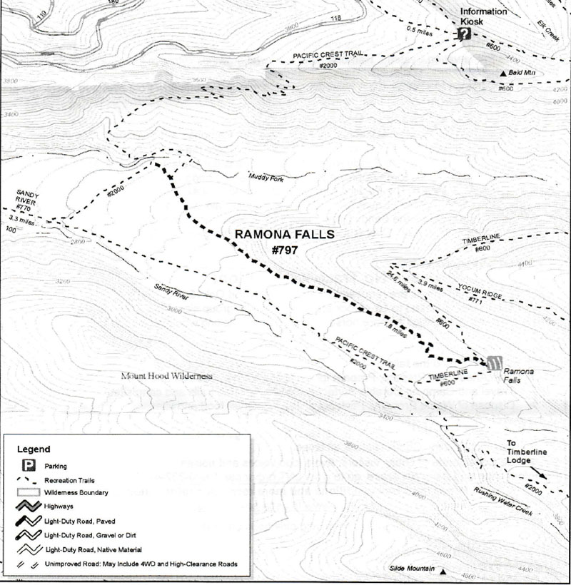 Ramona Falls Map
 |
I then drove up to the trail head. Take the Lolo Pass road. 4 miles turn right onto a paved road (no signs). 0.6 miles turn right
across a bridge. 1.7 miles take the left fork. 0.5 miles to the parking lot.
At the trail head.
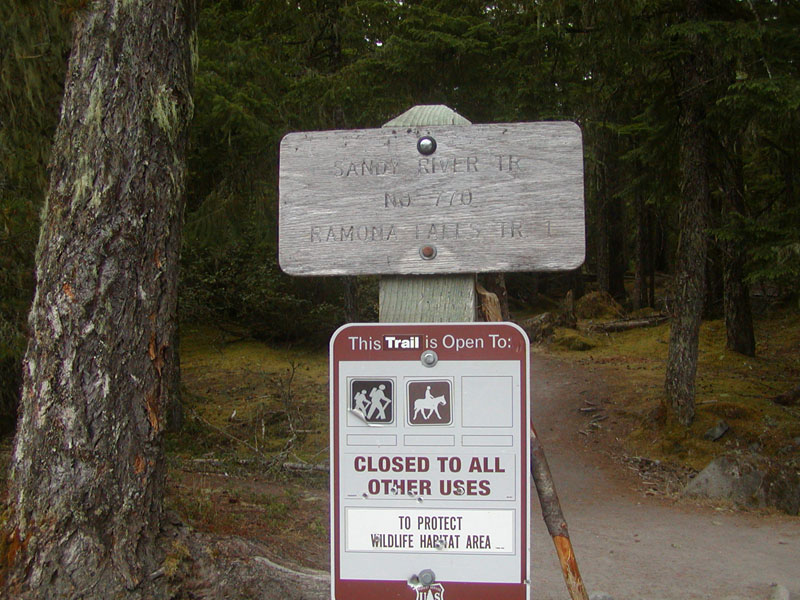 RamonaFalls Trail Marker
 |
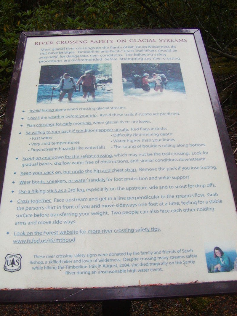 River Crossing Safety Guidelines
 |
A short distance down the trail is the box where you fill out a permit. One per party. The leader carries one copy, attached to
his/her pack, and the other goes in the box.
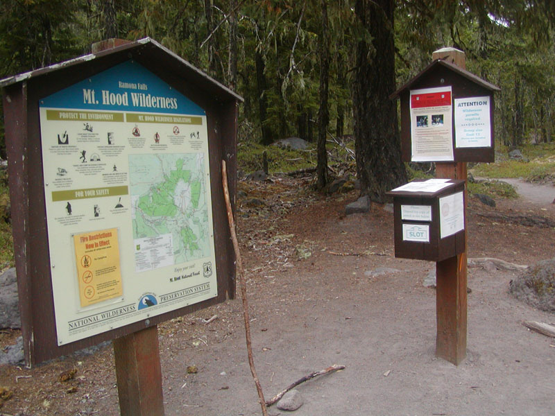 Permit Box
 |
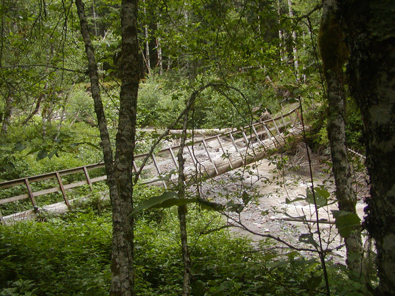
In about a mile, you reach the river crossing. Contrary to my previous report, there is no bridge. But a nice sturdy log serves
the purpose.
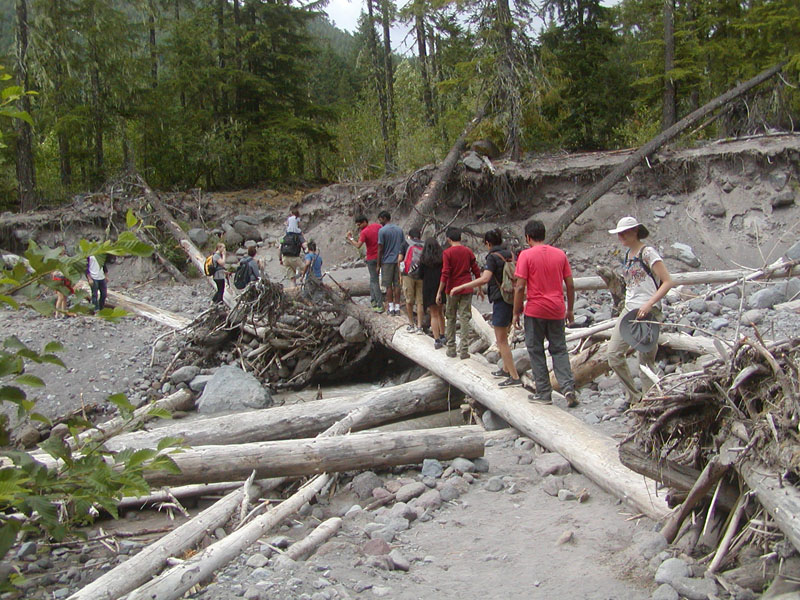 Crossing the Sandy River
 |
In about 1/2 mile, you come to the intersection of the PCT and the Ramona Falls trail. I continued north on the PCT.
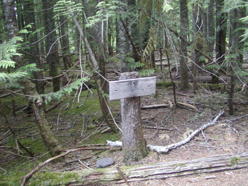 PCT Trail Marker
 |
You immediately cross Muddy Fork, on a large log. There is a rope attached to a second log, but it is too loose to help much.
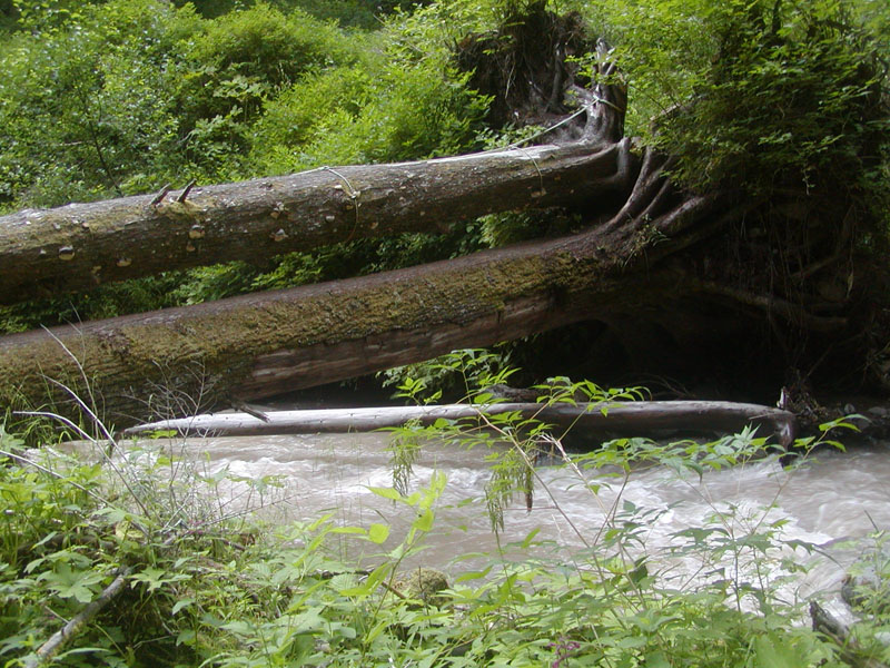 Muddy Fork Crossing
 |
 Muddy Fork
 |
After crossing the log, trails lead both left and right. I took the trail to the right, which seemed to head in the right direction.
However, about 200 yards later it ended at the site of an old bridge that is no longer useable.
 Old bridge crossing Muddy Fork
 |
So I retraced my steps, and took the trail to the left.
 The PCT continues on a trail that initially follows Muddy Fork
 |
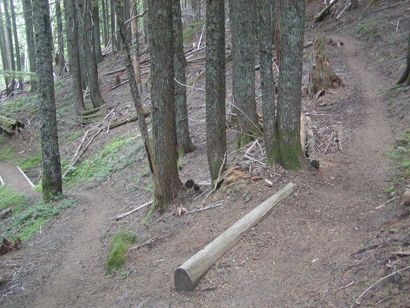
This led to the first of many switchbacks, and crossed a little spring-fed drainage.
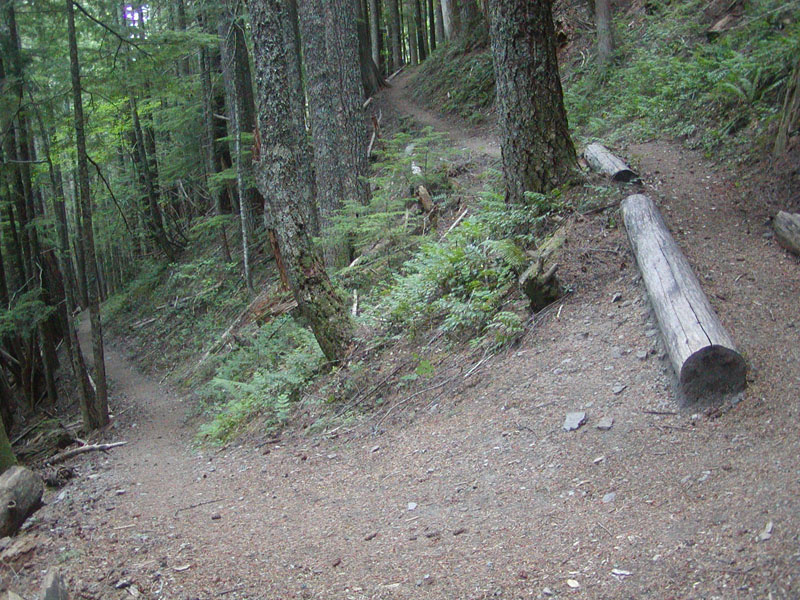 A switchback
 |
 Another switchback
 |
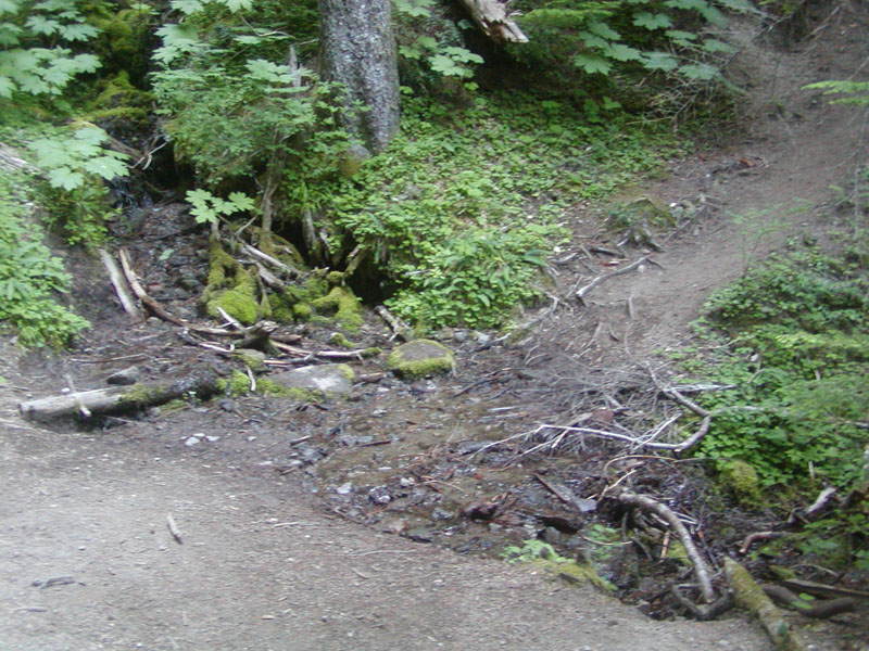 Spring-fed creek crossing the trail
 |
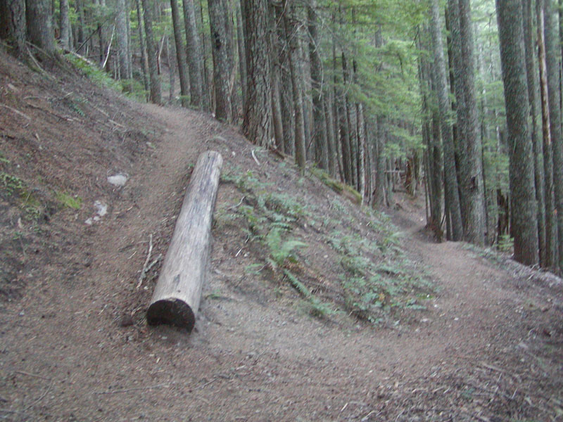
 Yet another swithback
 |
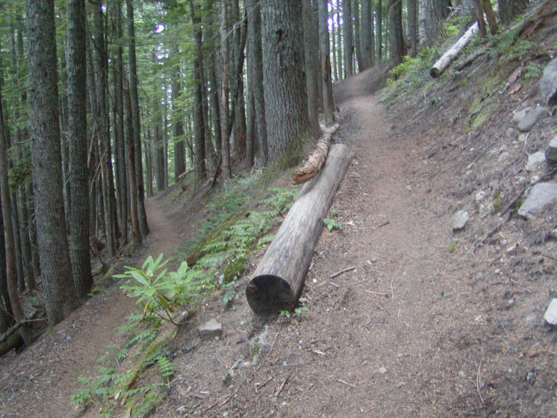 ... and another swithback
 |
And finally to the top of the ridge where the trail continues, skirting Bald Mtn, and on to Lolo Pass. I didn't continue, and
headed back down the switchbacks.
 Top of the ridge leading to Bald Peak
 |
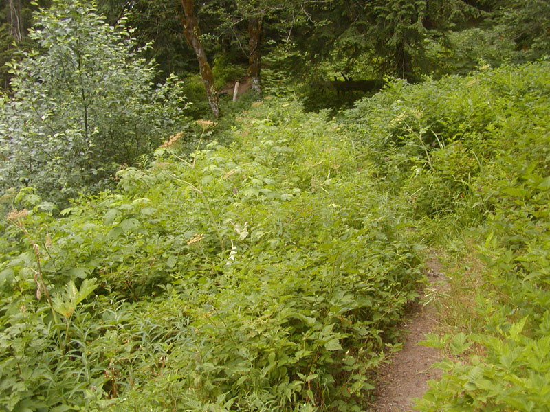
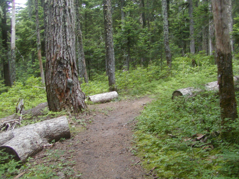
I crossed Muddy Fork again, and headed up the Ramona Falls trail. It is a good trail, a steady gentle slope upwards, climbing
1000 ft., to Ramona Falls. The last half of this trail is very pretty, following the creek that leads down from Ramona Falls.
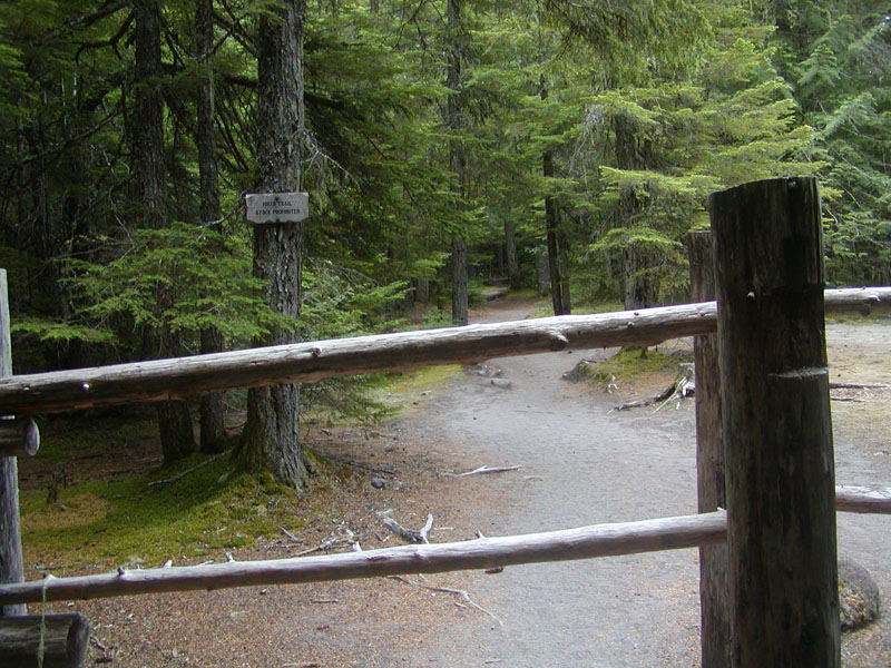 Start of the Ramona Falls Trail. No horses allowed on this trail.
 |
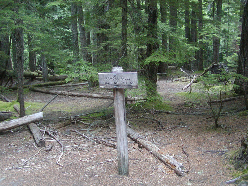 Ramona Falls Trail marker
 |
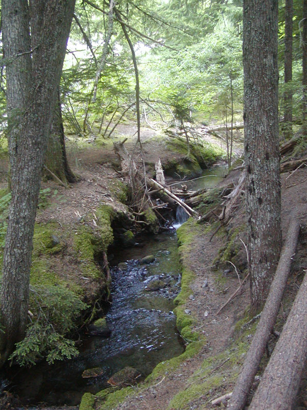 Creek below Ramona Falls. A very beautiful trail.
 |
And you finally reach the Falls. Quite a popular place. I saw a woman roughly my age, not too fit. I saw a woman about Kristy's
age with her kids, who was probably pushing 300 pounds. So you don't have to be really fit to do this hike.
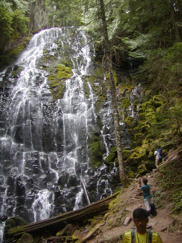 Ramona Falls from the bridge
 |
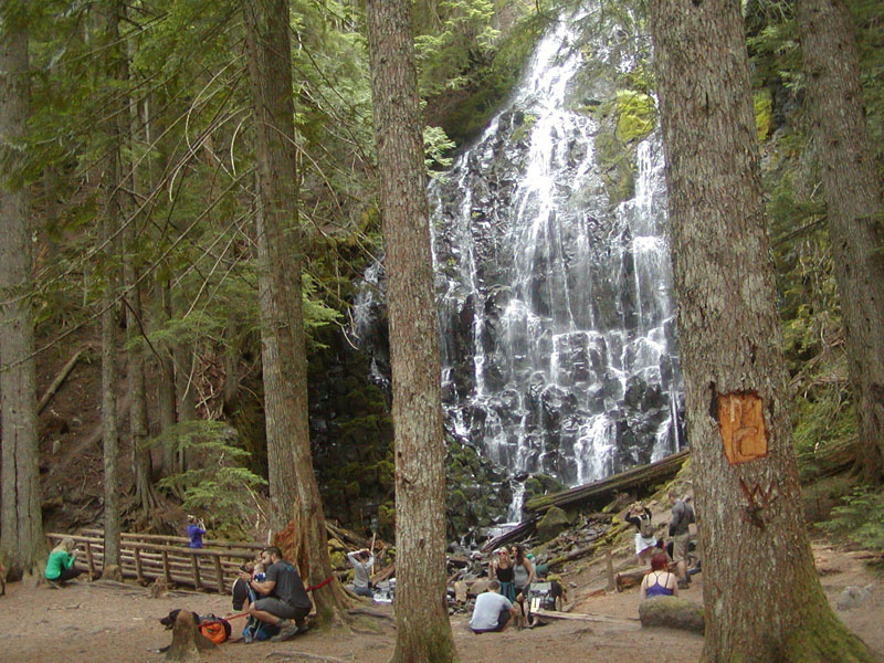 A popular destination. Roughly 50 people and lots of dogs.
 |
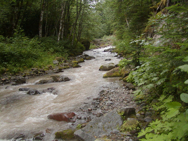
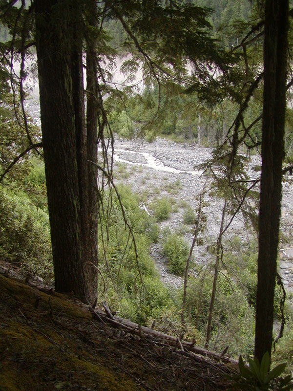
Then I headed to Sandy River. I must have missed the intersection with the trail that comes up from the river where the PCT
crosses the river. So I continued down the trail heading back to the trail head. This trail has vistas of the Sandy River Canyon.
Quite impressive. It follows the edge of the canyon, which drops abruptly down to the river.
 Sandy River from the trail along the canyon
 |
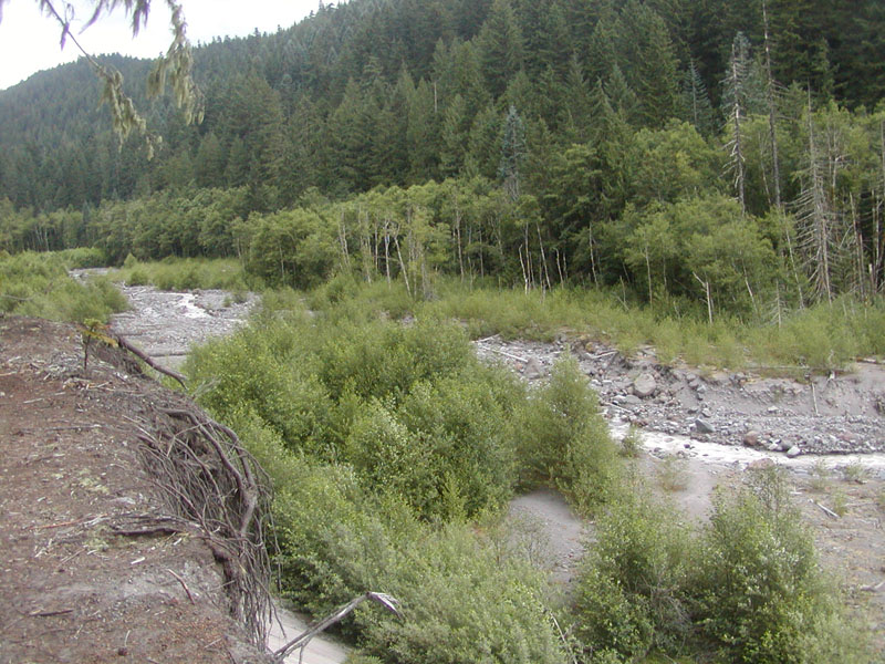 Sandy River ... nearing the bottom of the trail
 |
Eventually the bank is low enough you can get down to the river bed, which I did. I tried to hike back upstream to find the PCT
trail, but it was an impassable jumble of logs and rocks. No shortage of logs to cross the river on. Finally I gave up, never having
found the PCT crossing. So I don't know exactly what to expect. However, it is very unlikely we will have to wade across on our hike.
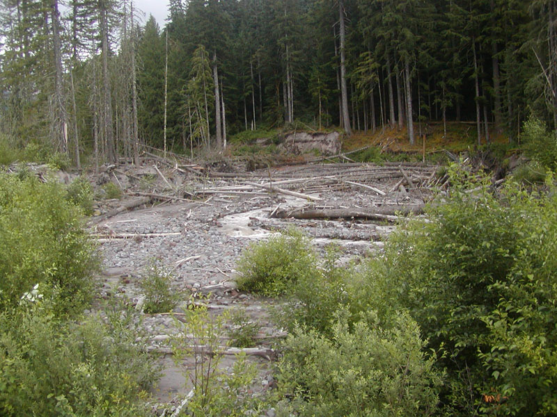 Looking back up the Sandy River. Lots of logs to cross on.
 |
So I turned around and headed back, found the trail again, and was soon back at the parking lot. Probably six hours of hiking,
which will be close to the time we will be on the trail for our hike, assuming we make it all the way to Lolo Pass. I figure 3-3.5
hours from the Lodge to the river. An hour crossing the river and up to Ramona Falls. Half an hour down the creek-side trail back
to the PCT. Those cutting the hike short will have nearly an hour hike from there to the parking lot. Those continuing the hike
will have about a 2-2.5 hour hike up the switchbacks and on to Lolo Pass.
End of the report. It was a fun day, but my legs and feet were pretty used up by the end.